
Images & Maps
📡
1km
Radar Resolution
🔄
5 min
Update Frequency
🗺️
40+
Map Layer Types
🧩
XYZ/WMS
Tile Formats
📂
50yr
Historical Archive
Live Map Demo
Every Layer. Any Location. Real-Time.
CustomWeather supplies a variety of high-quality images and maps.
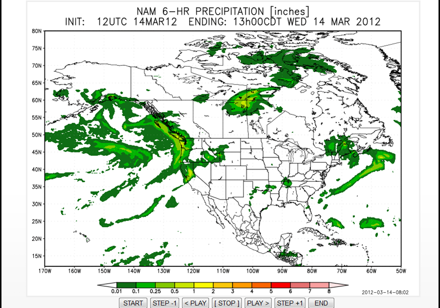
CWView: Model Plot Portal
Our model plot portal includes animated displays for 11 key government-run weather models around the globe for the full length of each model (some containing 75 frames or more). Over a half-million frames are generated via this robust service.
- Plots generated within seconds
- Dozens of forecast variables
- Supports 11 leading weather models,
- Supports CFS, GFS, GEM, GDAS, WW3 & More
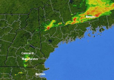
Doppler Radar
Real-time Doppler radar images for the U.S. updated every 15 minutes.
- Real-time radar imagery
- Rain and snow detection
- Severe weather monitoring
- Regional and national coverage
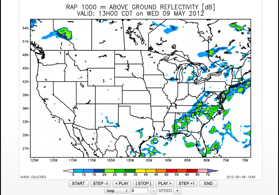
Future Doppler Radar
Future Doppler Radar (North America only) offers the forecasted composite reflectivity in 1-hour increments for the next 18 hours.
- Future Doppler Radar
- 18-Hour Forecast
- 1-Hour Update Intervals
- North America Coverage

Satellite Images
Worldwide satellite images (from both a regional and national perspective) updated every hour. A global infrared satellite mosaic that includes all major satellites around the world including EUMETSAT is offered at 5km resolution every hour. High resolution GOES imagery is available in 30 minute increment for North America..
- Visible (Day Cloud Phase)
- Infrared (IR Window)
- Water Vapor
- Enhanced-Color Composites
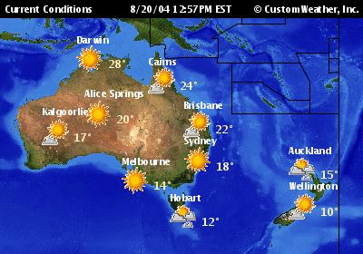
Current Condition Maps
Current condition maps for the entire world (and for specific regions) updated every 30 minutes
- Global Current Condition Maps
- Regional Weather Views
- Updated Every 30 Minutes
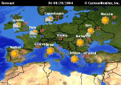
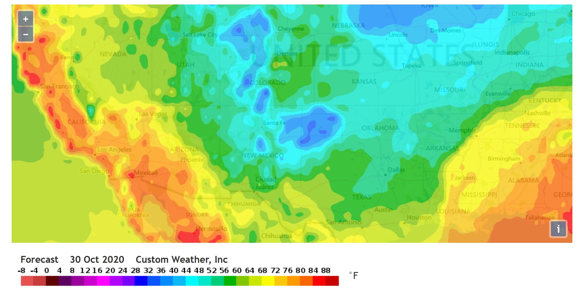
Forecast Maps
Weather forecast maps for the entire world (and for specific regions) updated four times daily.
- Worldwide Forecast Maps
- Regional Coverage
- 4 Daily Updates
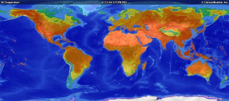
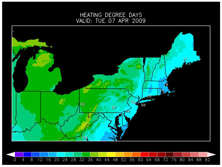
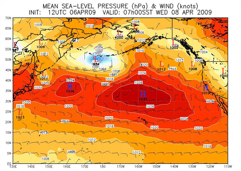
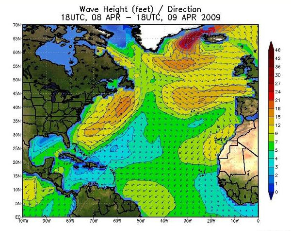
Contour Maps
Contour maps for the entire world (and for specific regions) updated twice daily. Maps are based on the following models: Global Forecast System (GFS), Climate Forecast System (CFS), National Digital Forecast DataBase (NDFD), Wave Watch III (WW3) and NCEP RE-Analyses.
- Temperature
- Surface Winds
- High Temperature (Forecast & Departure)
- Comfort index
- Low Temperature
- UV Index
- Precipitation (24 Hour Rainfall & Snowfall)
- Surface Pressure
- Jet Stream Winds
- Sunshine Index
- Dew Point
- Thunderstorm Probability
- Wave Height & Direction
- Synoptic Conditions


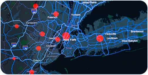
Hosted Maps
Valuable maps offering sophisticated data for future planning worldwide.
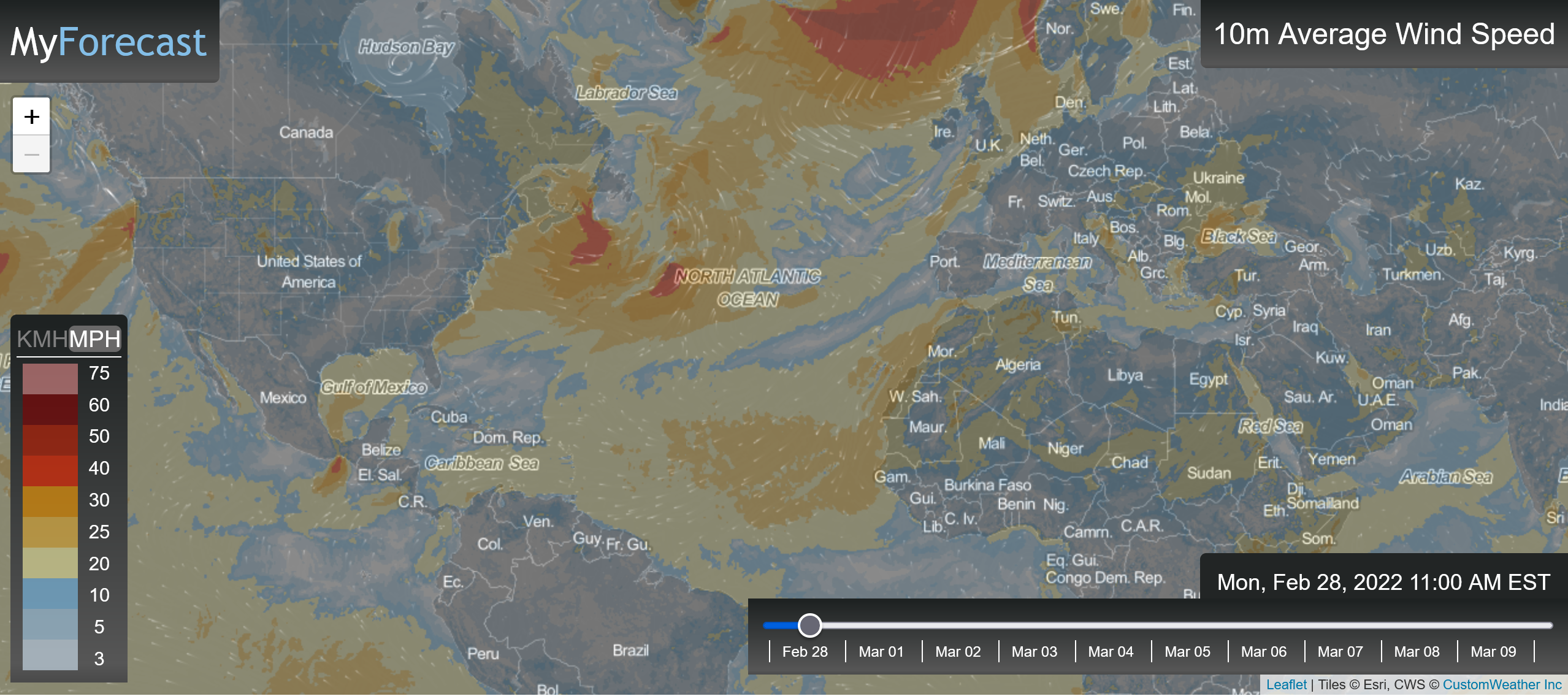
Wind Map
CustomWeather provides detailed hurricane, cyclone, and typhoon tracking
worldwide.Wind map for the entire world or any zoomed-in region with current and forecasted wind conditions.
- 10-day wind forecast
- Forecasted wind direction
- Forecasted wind speed
- Forecasted sustained winds and gusts
- Global Coverage
- Updated every hour
- Utilizes wind streamlines or particle movement for esthetic appeal
- Takes advantage of the latest in Leaflet technology

- Hour-by-hour precipitation forecast for the upcoming 8 hours or 18 hours
- Amount expected
- Global coverage
- Updated every hour
- Provides a nice smooth animation showing the movement of precipitation
FutureCast Precipitation Map
Precipitation forecast map for the entire world or any zoomed-in region.
Beautiful on Every Screen
Crisp, fast-loading map tiles that look stunning on mobile, tablet, and desktop —
served from our global CDN at any zoom level.



📱
Mobile & Web Apps
Embed beautiful animated radar and satellite imagery into consumer apps with a single tile URL.
🏢
Enterprise Dashboards
Add weather context to operations dashboards, logistics tools, and situational awareness platforms.
📺
Broadcast & Media
High-res radar exports and branded map tiles for TV graphics, streaming, and digital media.
🛡️
Emergency Management
Operational map layers for EOC displays, field crew apps, and public alerting systems.