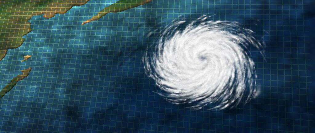
Professional Hurricane Tracking, Forecast Maps & GIS Data
Monitor hurricanes, tropical storms, typhoons, and cyclones with professional-grade tracking data from CustomWeather.
Our products provide current storm positions, forecast tracks, wind radii, wave radii, GIS layers, and customizable hurricane maps that help businesses prepare for severe tropical weather worldwide.
Hurricane Tracking for Businesses
CustomWeather delivers real-time hurricane and tropical cyclone tracking products for organizations that depend on accurate weather intelligence.
Coverage includes:
- Atlantic hurricanes
- Eastern & Central Pacific hurricanes
- Western Pacific typhoons
- Indian Ocean cyclones
- Southern Hemisphere tropical cyclones
Storm information is continuously updated throughout hurricane season and can be delivered through APIs, GIS layers, map tiles, custom reports, or branded web applications.
📍
Current Storm Information
- Current location
- Movement
- Minimum central pressure
- Maximum sustained winds
- Wind gusts
- Storm category
📊
Forecast Data
- Forecast track
- Wind radii
- Wind radii
- Cone of uncertainty
- Forecast intensity
- Landfall projections
🗺️
GIS Products
- Shapefiles
- NetCDF
- OpenGIS-based map layers (PNG,JPEG,GIF)
- Map Tiles
- Custom GIS Layers
- Enterprise integration
Why Accurate Hurricane Tracking Matters
More than just safety
Hurricanes can disrupt transportation, energy production, insurance operations, supply chains, emergency management, utilities, marine operations, and public safety.
CustomWeather provides timely hurricane intelligence that helps organizations:
- Protect employees
- Plan evacuations
- Monitor assets
- Reduce operational risk
- Optimize logistics
- Improve emergency response
HURRICANE TRACKING IS CRITICAL ACROSS A VARIETY OF INDUSTRIES
Hurricane GIS Data
More About Our GIS Services
Import hurricane tracks directly into ArcGIS, QGIS, web mapping applications, and internal dashboards.
AVAILABLE FORMATS INCLUDE
- Shapefile
- NetCDF
- OpenGIS-based map layers (PNG, JPEG, GIF)
- Map Tiles
- Custom APIs

Hurricane Maps
Proprietary tracking maps with both past track information and future path projection.
All information is in an easy to read format for optimum plotting and display.

Hurricane Sample 1
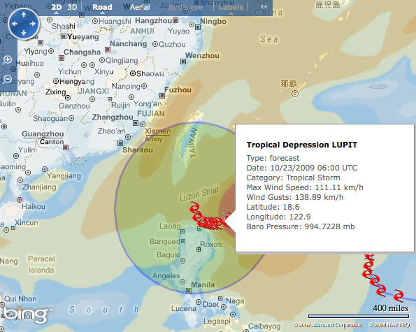
Hurricane Sample 2
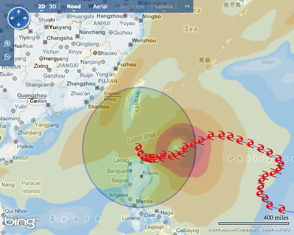
Hurricane Sample 3
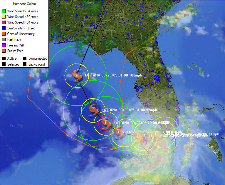
Hurricane Sample 4
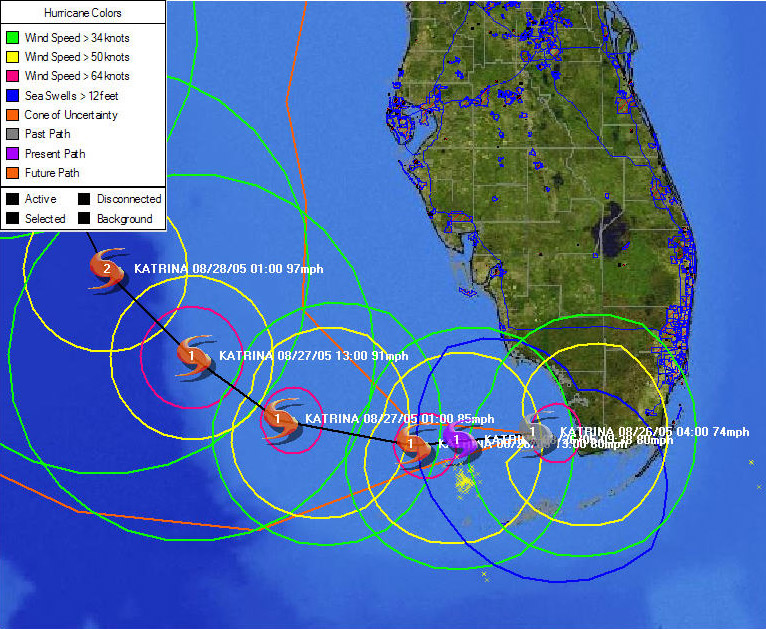
Hurricane Sample 5
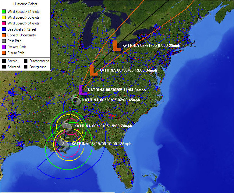
Hurricane Sample 6
Hurricane Tracking API
More About Our API
Developers can integrate hurricane tracking directly into applications using the CustomWeather API.
AVAILABLE FORMATS INCLUDE
- Current storm location
- Forecast positions
- Wind radii
- Storm category
- Forecast intensity
- Historical track
- GIS layers
RESPONSES AVAILABLE IN
JSON
XML