
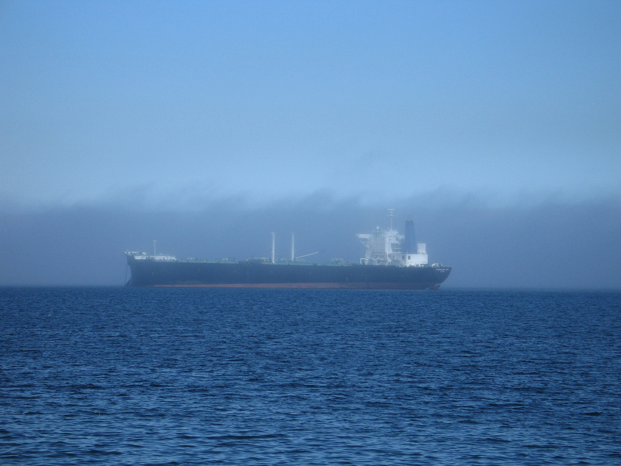
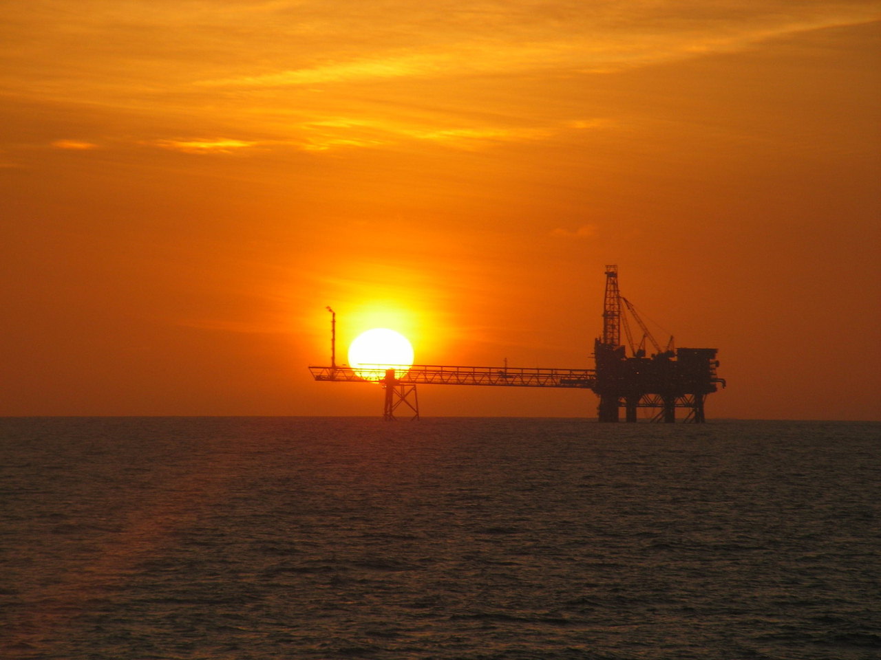
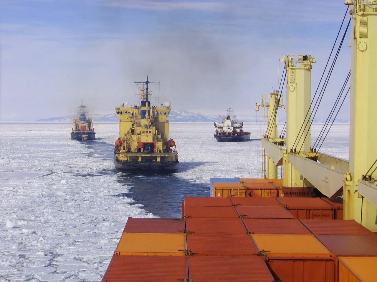
CustomWeather supports maritime activities including shipping, route planning, offshore survey work, wind farm set-up, and offshore asset maintenance.
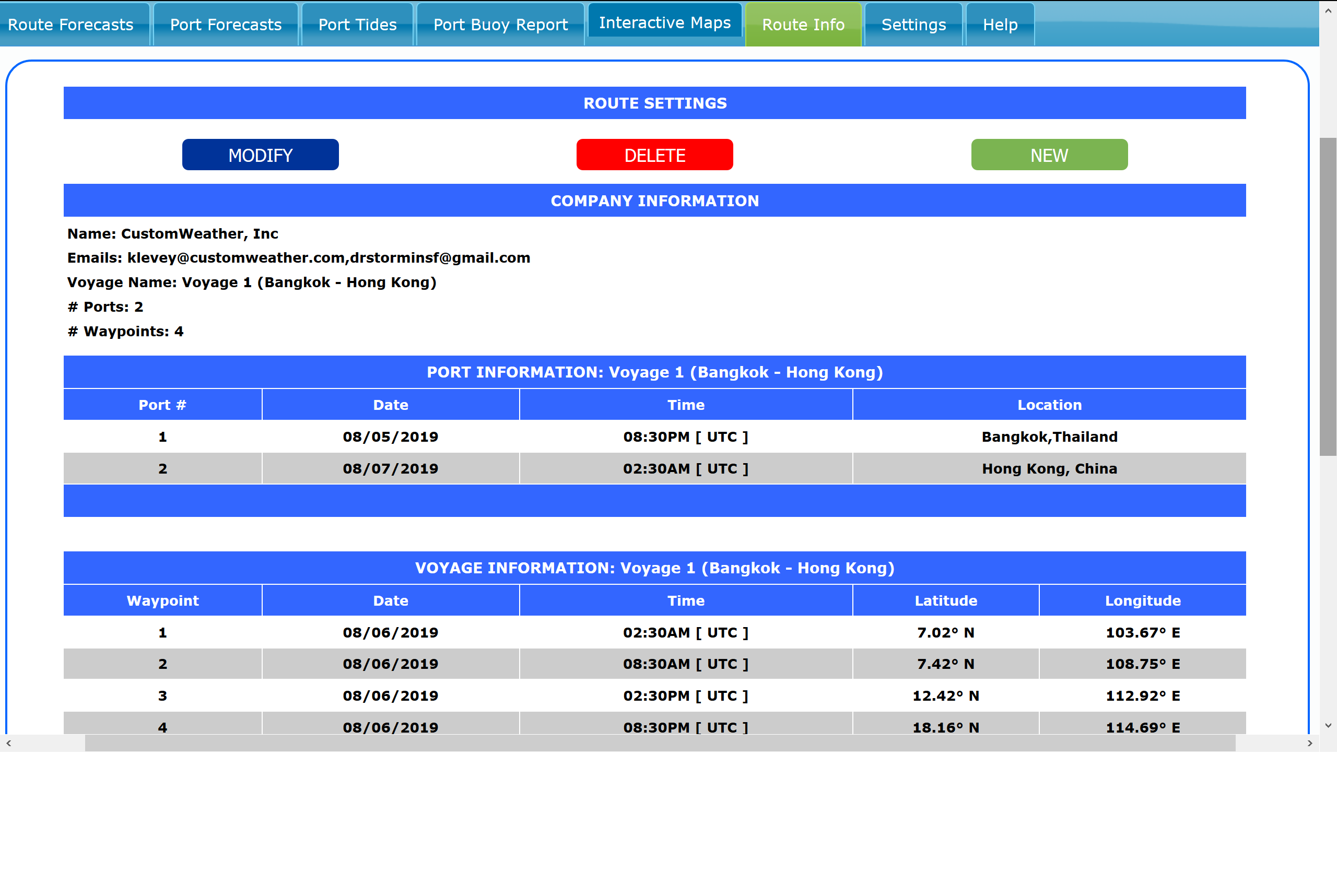
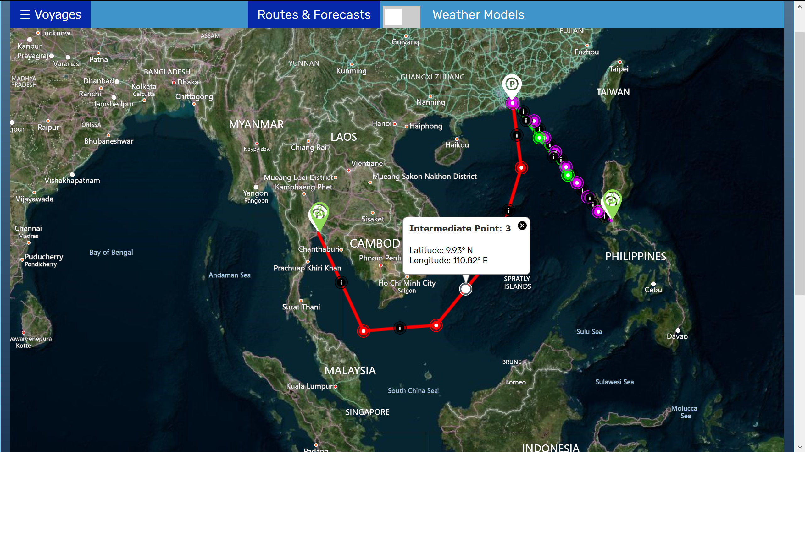
CW Voyage™ Marine Route Forecast Solution
Automated on-the-fly route forecasts for any of the world’s oceans.
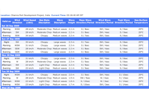
Route forecasts include:
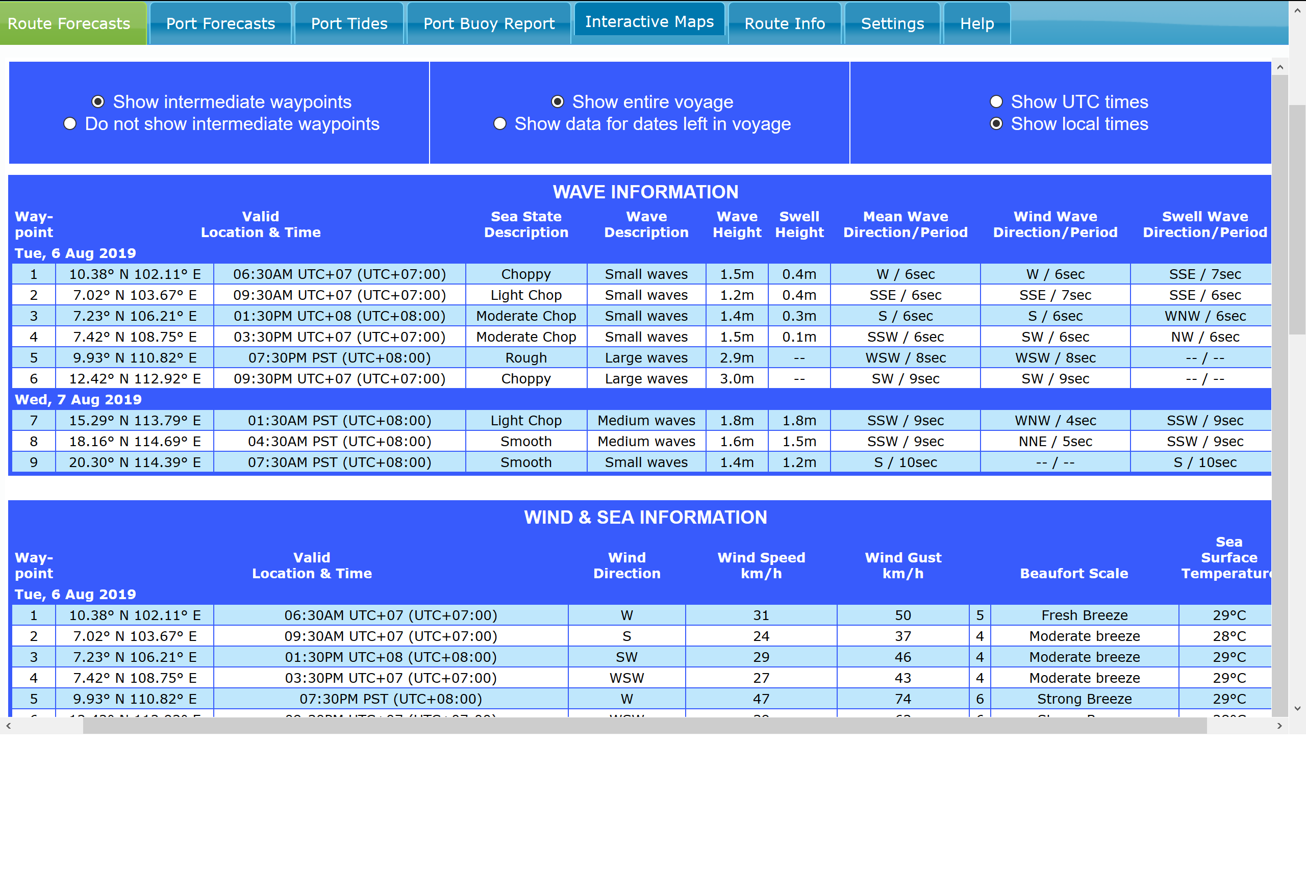
- Current and forecasted wave height/direction
- Relevant tide tables, moon phase, sunrise/sunset, moonrise/moonset
- Detailed marine forecast for each waypoint, in 6-hour increments
- Surf and sea state in 6-hour increments
- Buoy reports
- Customized delivery times and forecast formats
- Tropical storm tracking and threshold alerts can be included as desired
- Route forecasts can be generated for any set of waypoints
- Route forecasts updated every 6 hours
- Forecasts provided in PDF format
Custom Site-Specific Marine Reports
These site-specific reports provide a completely customized, detailed marine and weather summary for the exact location(s) of interest.
- Site-specific text briefing
- Hurricane or cyclone updates
- Forecast charts for wind, wave, and weather information
- Line graphs outlining wind and wave trends for the upcoming 5 days
- Reports can be delivered via email as PDF or transmitted via fax

Hurricane Tracking
CustomWeather provides detailed hurricane, cyclone, and typhoon tracking worldwide:
- All storms are tracked from their origin and plotted out for the upcoming 5 days
- Cones of uncertainty clearly identify possible track deviations of the storms
- Satellite imagery is provided to complement the hurricane reports
- Tropical cyclone bulletins from local governments are provided
Custom Text Briefings
CustomWeather’s meteorologists can deliver site-specific text briefings for your exact location(s).
Briefings include:
- Anticipated synoptic conditions over the next few days
- General weather overview
- Significant weather is highlighted
- Reports can be delivered via email as PDF or transmitted via fax
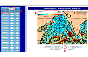
Custom Marine Modeling
CustomWeather has PhD meteorologists on staff with expertise in running marine and weather models.
CustomWeather can provide high-resolution marine model simulations over your particular domain. CustomWeather standard high-resolution marine simulations are run at 1 km resolution – higher resolutions can be provided upon request.
Ocean Currents Report
- High-resolution location specific reports and forecasts for ocean currents at varying depths for depths down to 3,000 meters
- Variables include ocean current direction, speed, water temperature, and salinity
- Sea height anomaly is reported for the surface
- Daily reports and 14 day forecasting are available
- Reports are updated on a daily basis
Ocean Mapping
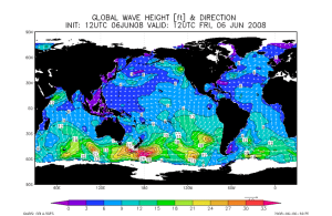
- CustomWeather can provide detailed maps or map overlays of winds, waves, sea surface temperatures, and ocean currents for your area
- Dozens of weather variables, synoptic features, and tropical systems can also be mapped
- Proprietary peril maps highlight areas that may experience dangerous weather conditions
Custom Marine Web Portal
- All CustomWeather maritime products can be accessed via a customized, secure web portal for your exact offshore location(s)
- Web portal includes dozens of marine maps and charts in a user-friendly viewing environment
Need a Custom Solution?