- 🚁 CW100 · 100m Resolution · HRRR Nowcasting · Wind Forecasting · GIS
Drone Operations
Weather conditions, especially wind, temperature, and severe weather, are a primary concern when it comes to drone mission planning and execution. CustomWeather’s products offer optimal support for mission planning, calculation of trajectory, range, and other flight parameters.
CW100
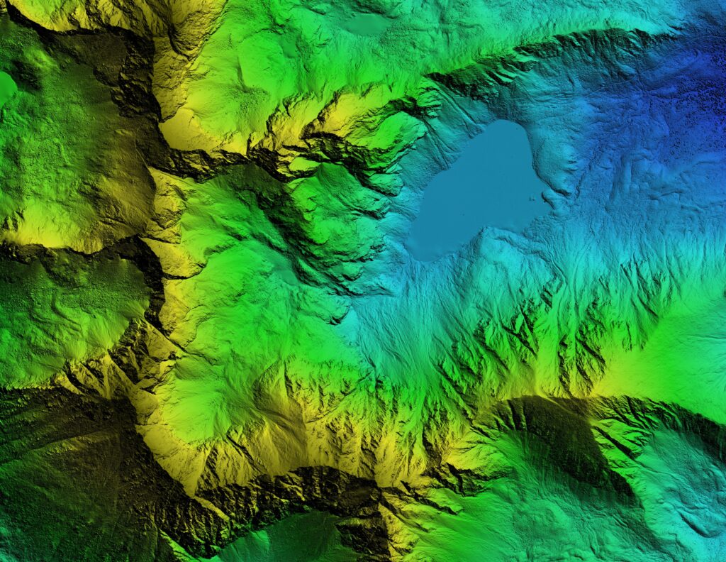
CW100 is a proven weather forecasting model capable of predicting actionable, near-surface winds and temperatures with unprecedented 100 meter resolution and accuracy. Excels in spatial resolution, accounting for small-scale terrain features, etc.
- Excellent performance for both daytime and nighttime forecasting.
- Lightweight: high speed, low cost — can easily be run on a single computer
- High resolution: 100 meters or less
- Works everywhere, not limited to observation sites
- Very accurate near the ground – consistently beats NWP, NWS MOS, and most human forecasters
- CW100 is not limited to observation sites (airports) or population centers because it relies on gridded data sets that are primarily satellite-derived.
AVAILABLE VARIABLES INCLUDE
- Temperature
- Wind speed/direction/gusts at any altitude
- Surface visibility
- Precipitation
- Cloud cover between the surface and 500 meters
- Pressure


Nowcasting: Forecast Conditions via HRRR
(HIGH RESOLUTION RAPID REFRESH)
In the North American domain, CustomWeather offers high resolution forecasts
(3km) at any altitude for the latest on rapidly changing conditions. A wide variety
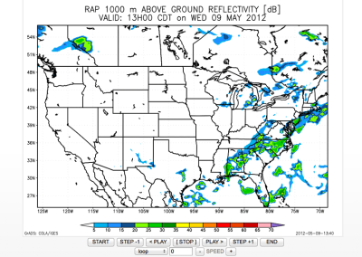
of variables are available in 15-minute increments including radar reflectivity,
precipitation, wind speed/direction/gusts, temperature, pressure, and cloud cover.
Globally, CustomWeather delivers hourly forecasts at any altitude including the 10-
meter and 80-meter heights that are critical for drone operations. Over 200
different weather variables are available ranging from temperature and wind to
more complex weather variables such as convective parameters and a hail index.
Data is available from the current hour out to 15 days.
All weather forecast variables are available from CustomWeather’s Cloud Weather Service
for any global latitude/longitude for both the current hour and future hours.
- 🌐 Global Estimation
CW- Global Estimator: Worldwide Current Conditions Estimation Expertise
Worldwide Current Conditions Estimation Expertise
CW-Estimator combines the most recent land, sea and space observations
with rapid refresh model forecast data to provide highly accurate estimates
of surface conditions for any position on the globe. Estimations are currently
available for temperature, wind speed, humidity, dew point, mean sea-level
pressure, and 6-hour precipitation. All available weather station reports are
combined with satellite data, short-term weather forecasts and over 500K
discrete forecast grid points to provide the best estimates of current
conditions worldwide.
- 🚨 Alerts
Alerts and Advisories
CustomWeather produces valuable localized weather alerts and advisories
for major weather developments, including tropical storm and hurricane
tracking products. Alerts can be set up for any weather variable threshold as
well as multiple and custom thresholds. In addition to custom advisories,
real-time alerts issued from NWS and Environment Canada are also provided.
ALERT TYPES
- Precipitation
- Lightning Strike Alerts (US only)
- High winds
- Freeze alerts
- Ice accretion
- 🌀 Storm Tracking
Hurricane and Storm Cell Tracking
CustomWeather offers tropical storm and hurricane tracking products for the
North Atlantic, North Pacific, and Indian Oceans throughout the hurricane season.
In addition, CustomWeather’s Forecasted Significant Weather, created to be used
in conjunction with Severe Weather Advisories, assigns a number between 0-100
to represent the significance of weather in a particular location with a focus on
precipitation, winds, and temperature. Hurricane current and forecasted tracking
includes:
- Current movement and minimum central pressure.
- Forecasted storm positions, wind speeds, wind gusts, wind radii, and wave radii for the next 72 hours.
- 💨 Wind Forecasting
Wind Forecasting Expertise
- Ability to model wind speeds at ground-level and tower height
- Diurnal wind cycles captured graphically or in data files
- Winds and other conditions reported at various levels in the lower atmosphere (10 meters, 80 meters, etc.)
- Reporting available for any latitude/longitude for both current and future hours
- Experience with offshore weather forecasting for marine
Historical Wind
CustomWeather provides hourly, historical wind directions, speeds, and gusts for
the past year in one-hour increments. Weather data is available for approximately
8400 global locations.
- Historical point data may be converted to regional values (or any other geographic area) based on mean or population weighted methodology
- Regions or areas are completely customizable
- Resolution is at 10 km for any near-surface elevation
- Model data is down-scaled via dynamic GIS to account for terrain, elevation, aspect, slope and other land impacts
- 🗺️ GIS
Industry-leading GIS Solutions
CustomWeather’s map server produces maps in real-time according to client-
specific requests through an easy-to-use http interface.
- All of CustomWeather's content is available in GIS formats and in point data
- Shape files, OpenGIS-based map layers, NetCDF files
- Ability to plot hundreds of weather variables for time frames from a few hours to a few weeks
- Historical data is available globally at 10km grid resolution with further downscaling possible
Mapping Services
- Support Open Geospatial Consortium Web Map Server Technology (WMS)
- Support ESRI Shape Files (approved as both ArcWeb Partner and ESRI Business Partner)
- Map Tiles: most of our data is now offered as map tiles. We can also support KML/KMZ file conversions
Sample Maps and Reports
CustomWeather’s robust mapping and reporting capabilities can be customized to provide
targeted information in a visually engaging format. For a comprehensive overview of our
mapping and reporting capabilities, contact us.

US Wind Forecast Map
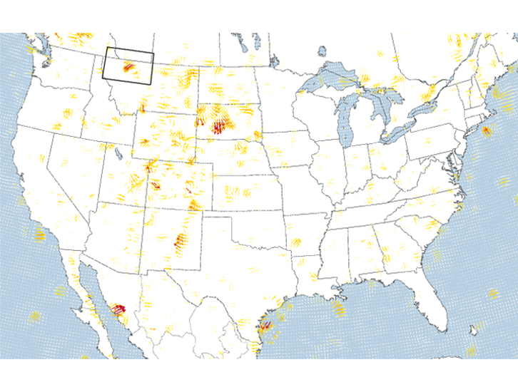
US Wind Ramp Map
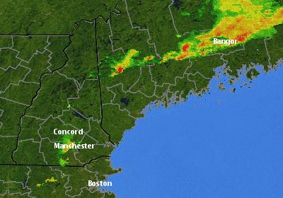
Doppler Radar